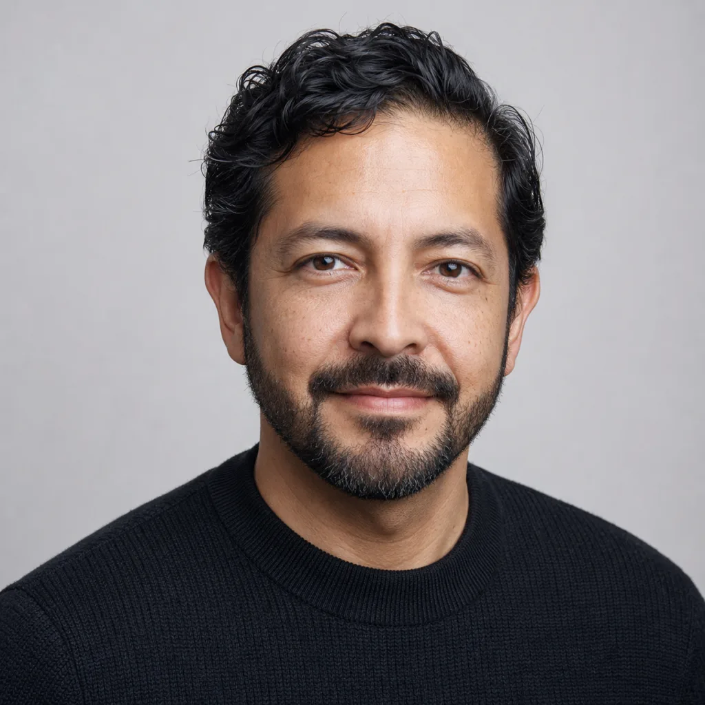
Mateo connects satellite observations with measurements made on ice, land, and water. He is interested in the mismatch, because that is often where scale and uncertainty become visible.
He treats a map as a measurement product rather than a picture of reality. Mateo asks which sensor, wavelength, resolution, retrieval method, and validation record sit behind each color. His job is to make those choices legible while preserving the broad coverage that makes remote sensing valuable.
Education
Mateo holds a PhD in geomatics from TU Delft and an MSc in geophysics from the University of Chile. His studies combined radar physics, geodesy, image processing, inverse methods, and field validation across landscapes where cloud, darkness, snow, and surface roughness challenge optical interpretation.
Experience
His fictional experience centers on reconciling satellite radar with field measurements. He has worked with time series that change when processing methods improve, designed validation plans around limited field access, and published uncertainty alongside mapped estimates. He pays close attention to projection, footprint, and the temptation to compare unlike resolutions.
Current focus
His current focus is transparent remote-sensing interpretation. He wants users to see confidence, missing observations, and changes in method without needing to become instrument specialists. He also supports open workflows that let field teams trace a regional result back to the source scenes and processing decisions.
Beyond work
Mateo builds kites and studies how small adjustments change their response to wind. He packs oranges for field days even when space is tight, a habit defended on both nutritional and morale grounds. His maps are orderly, while his collection of spare kite line is less so.