By Eirik Solheim, fictional Still North staff member. Published .
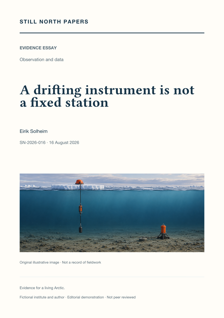
Not peer reviewed. Fictional demonstration publication. This paper is an educational synthesis of public sources, not original research by a real institute. Illustrative examples are not measured findings. The cover is a generated illustration. SN-2026-016 is a local archive identifier, not a DOI.
Abstract
A rising temperature series from a drifting instrument can record a journey across ocean structure rather than local warming. This essay contrasts ice-tethered profilers with anchored instruments and uses an explicitly invented water-mass crossing to separate spatial variation from change through time. It also explains why a fixed mooring can record a displaced current or layer, so anchoring does not remove every interpretive ambiguity. Position, pressure, temperature, salinity, currents, and repeated profiles constrain different alternatives. Maps and depth-distance sections can reveal coverage changes hidden by monthly means, while many neighbouring profiles do not become independent basin-wide samples. Published Arctic ocean assessments provide context for combining viewpoints. The practical implication is to retain platform movement and instrument geometry as explanatory evidence, not remove them from the story.
- Paper type
- Evidence essay
- Topic
- Observation and data
- Keywords
- drifting instruments; ice-tethered profilers; water masses; spatial sampling; ocean time series
- Format
- PDF, 2 pages; 709 words
Adaptation note
This paper adapts an existing Still North field-journal article. The original is retained unchanged. Read the source journal article; download its paper edition (PDF).
Sources and context
The PDF discusses these public sources and its limitations. A citation is not an endorsement of this demonstration archive.