By Elín Bjarnadóttir, fictional Still North staff member. Published .
Not peer reviewed. Fictional demonstration publication. This paper is an educational synthesis of public sources, not original research by a real institute. Illustrative examples are not measured findings. The cover is a generated illustration. SN-2026-034 is a local archive identifier, not a DOI.
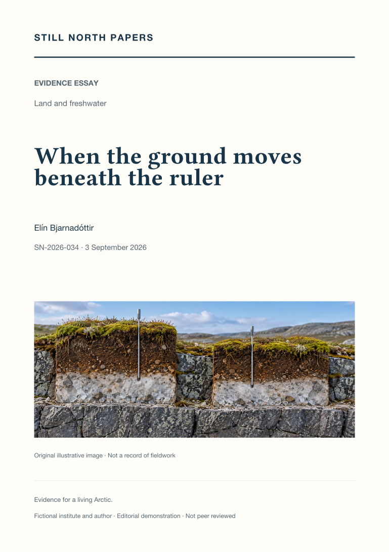
Abstract
An unchanged thaw-depth reading can conceal movement of both the ground surface and the thaw boundary. Through a deliberately simplified example, this essay distinguishes surface-relative depth from elevation measured against an external reference. It draws on active-layer monitoring guidance to discuss marked sampling locations, repeat readings, probe refusal, lower bounds, and the importance of recording seasonal timing. A cited satellite-radar study extends the discussion to spatial observations without equating radar displacement with a thaw probe. Seasonal heave and subsidence must also be separated from persistent settlement before comparisons are interpreted. The essay recommends preserving linked records of depth, surface movement, point identity, reference conventions, and method changes, while making clear that no particular site's subsidence is established by the explanation.
- Paper type
- Evidence essay
- Topic
- Land and freshwater
- Keywords
- active layer; thaw depth; ground subsidence; reference elevation; probe refusal
- Format
- PDF, 2 pages; 714 words
Adaptation note
This paper adapts an existing Still North field-journal article. The original is retained unchanged. Read the source journal article; download its paper edition (PDF).
Sources and context
The PDF discusses these public sources and its limitations. A citation is not an endorsement of this demonstration archive.