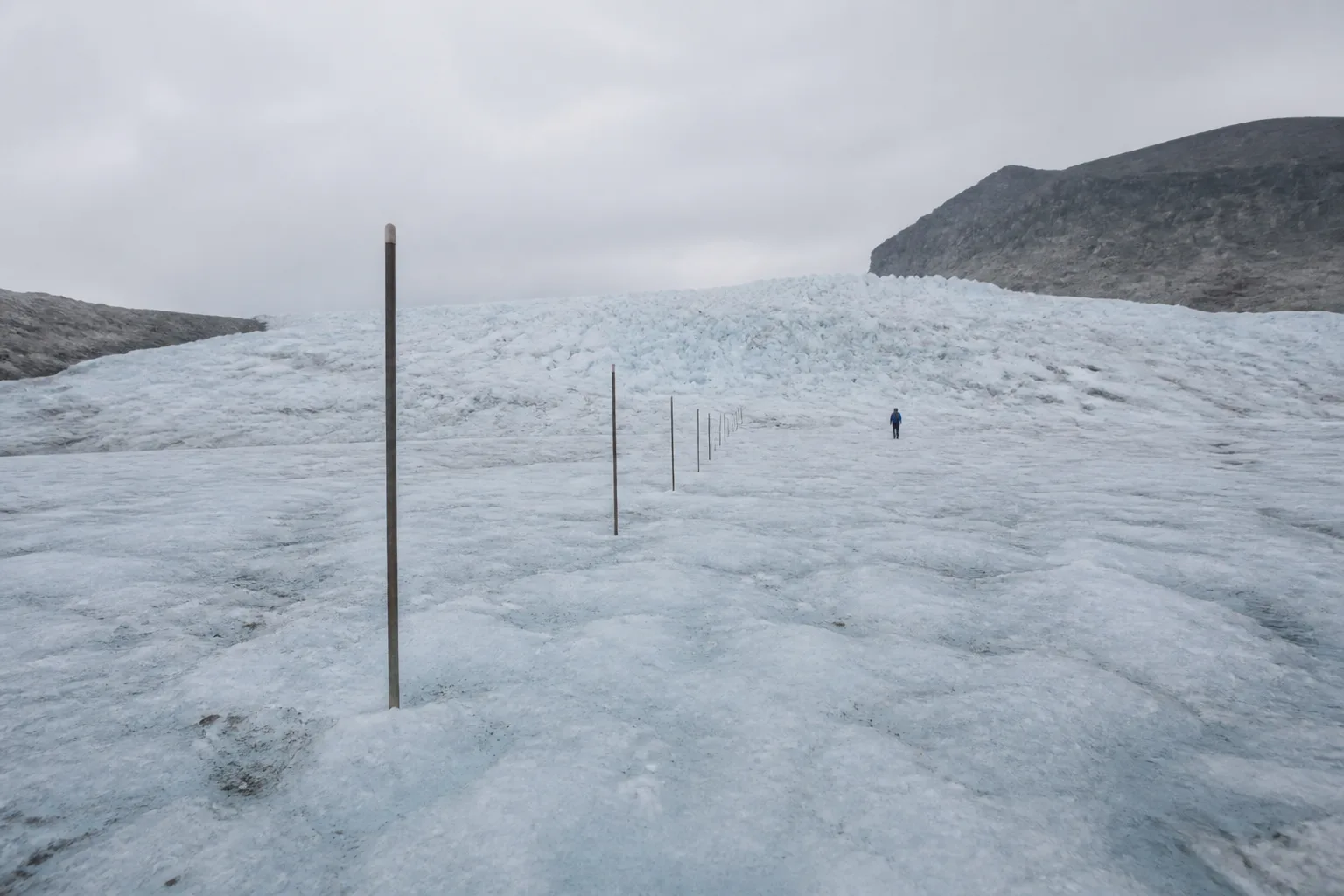
A line of ablation stakes can look simple: poles in ice, read again later. The useful measurement depends on placement, reference points, density changes, accumulation, timing, and a record that survives from one visit to the next. This illustrative story describes the method, not a Still North field campaign.
A repeated local measure
An ablation stake is installed into the glacier and the exposed length is measured relative to the surface. A later reading can show surface lowering or accumulation at that point. The result needs stake identity, position, date, surface description, installation depth, reading method, and any movement or damage. Snow and ice density are needed when converting height change into mass.
One stake is local. A network can sample elevation bands and parts of a glacier, but crevasses, access, safety, and terrain influence placement. The design should say which areas are represented and which are not. A convenient route is not automatically a representative transect.
A numbered field method
- Define the mass-balance question, period, coordinate system, and reference convention.
- Select sites across the intended elevation and spatial range, recording exclusions.
- Install and identify each stake using a method suitable for the ice and expected change.
- Measure surface, snow, and stake geometry with units and uncertainty.
- Return on documented dates, note lost or tilted stakes, and retain raw readings.
- Apply density assumptions explicitly and compare the point network with wider observations.
From points to an ice-sheet result
Stake records help describe surface mass balance at selected places. Weather stations, snow pits, radar, satellites, models, and measurements of ice discharge contribute other parts of glacier and ice-sheet assessment. The whole Greenland result is not the sum of one visible row of poles. Different observations constrain accumulation, runoff, flow, and loss at different scales.
The NOAA Arctic Report Card 2025 Greenland Ice Sheet chapter reports a mass balance of -129 ± 50 Gt for the assessed period. The uncertainty belongs with the number. It reflects the challenge of estimating a vast system from complementary observations, not permission to ignore the direction of the result.
Why patient repetition matters
A field team returns to the same stake because comparability is valuable. An unremarkable reading helps define variation. A missing stake is recorded as missing and investigated, not silently replaced with an assumed value. If equipment, coordinates, or method change, overlap can show how the new record relates to the old one.
Footsteps are useful scale in an image, but they are not a unit of analysis. Distance walked may reveal access and effort, while the measurement remains in documented units. The phrase is a reminder that regional estimates depend on people maintaining local records with care.
Methods brief
The public Arctic change brief collects the 2025 Greenland result with its uncertainty and source. It also explains why a single annual value should be read within method and longer context.
A bounded conclusion
A stake reading can be precise and still be local. A whole ice-sheet estimate can be regional and still carry uncertainty. Trust comes from showing how those scales relate, preserving raw observations, and keeping assumptions available for review. Repetition is not glamorous, but it is how a change becomes a record rather than an impression.
Lost stakes are not silent
A stake may melt out, tilt, break, become buried, or become unsafe to approach. Each outcome is recorded with the last reliable reading and reason the series ended. Replacing it nearby starts a related but distinct record. Treating the replacement as if nothing changed would make the time series look more complete while weakening its meaning.
Coordinates also carry uncertainty. Ice moves, and a position measured on one visit may need to be interpreted in a moving reference frame. Survey method, precision, and glacier velocity determine how positions relate. Maps should not imply that a marker remained fixed to bedrock when it moved with the ice.
Public communication often reaches for familiar comparisons to make gigatonnes tangible. Those comparisons can introduce new assumptions and distract from the reported method. Keeping the mass unit, uncertainty, period, and source visible is the simpler path. A reader can then connect the annual result to the longer assessment without a fictional object piled beside it.

Leave a Reply