By Amina Okafor, fictional Still North staff member. Published .
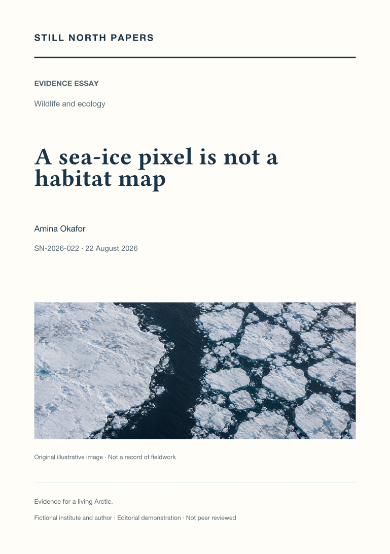
Not peer reviewed. Fictional demonstration publication. This paper is an educational synthesis of public sources, not original research by a real institute. Illustrative examples are not measured findings. The cover is a generated illustration. SN-2026-022 is a local archive identifier, not a DOI.
Abstract
Sea-ice concentration becomes an ecological question only when connected to the geometry and function of habitat. Two hypothetical cells with the same ice percentage illustrate differences in floe arrangement, connected water, edge, and exposure. The essay then adds seabed depth, prey access, seasonal persistence, and the limits of coarse satellite cells, drawing on NSIDC explanations and USGS polar-bear habitat research. Compatible observation dates matter because drift can rearrange the surface, while an animal's mapped movement can include movement of the ice beneath it. Occupancy is not treated as proof of preference, successful feeding, or fitness. A layered interpretation therefore starts with the measured ice variable, identifies the proposed habitat mechanism, and tests it with appropriate biological evidence rather than decorative map overlays.
- Paper type
- Evidence essay
- Topic
- Wildlife and ecology
- Keywords
- sea-ice habitat; floe geometry; polar bears; habitat inference; tracking scale
- Format
- PDF, 2 pages; 695 words
Adaptation note
This paper adapts an existing Still North field-journal article. The original is retained unchanged. Read the source journal article; download its paper edition (PDF).
Sources and context
The PDF discusses these public sources and its limitations. A citation is not an endorsement of this demonstration archive.