By Elín Bjarnadóttir, fictional Still North staff member. Published .
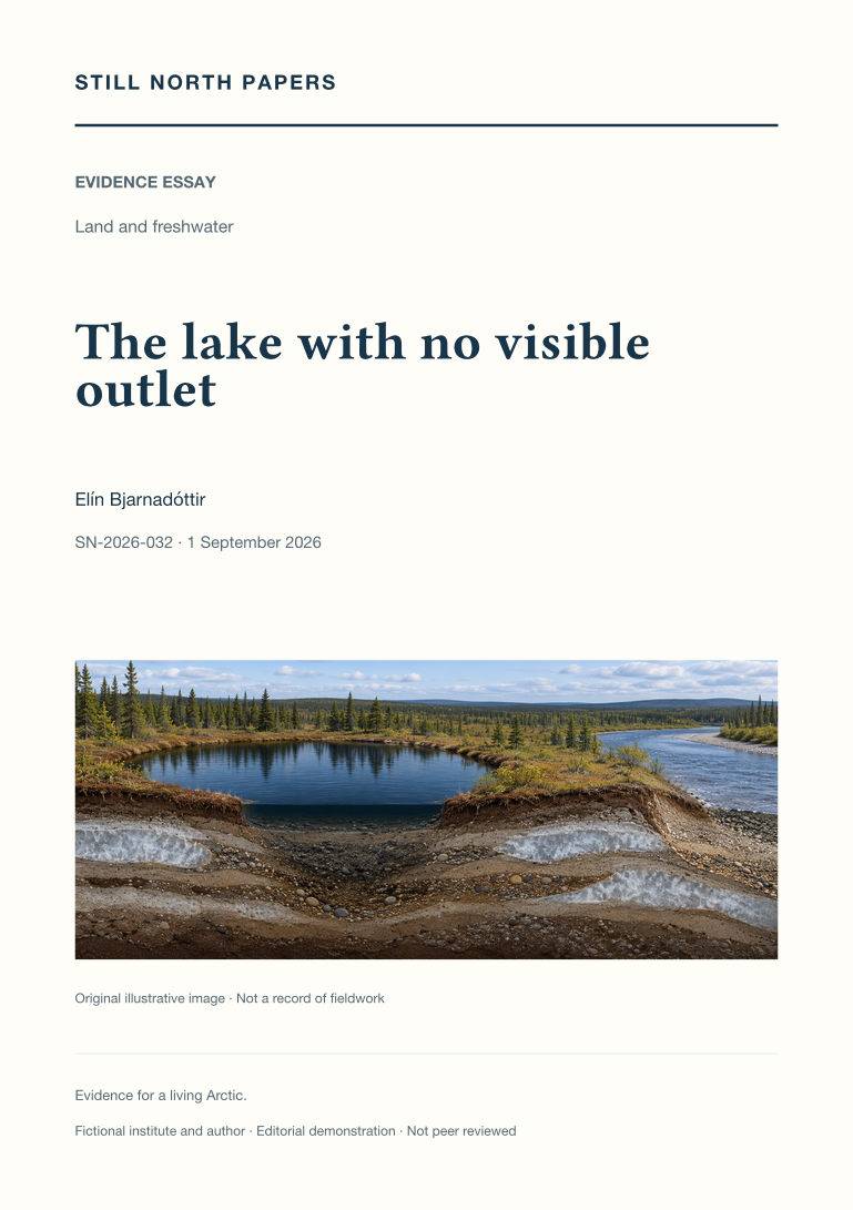
Not peer reviewed. Fictional demonstration publication. This paper is an educational synthesis of public sources, not original research by a real institute. Illustrative examples are not measured findings. The cover is a generated illustration. SN-2026-032 is a local archive identifier, not a DOI.
Abstract
A lake without a mapped surface outlet can still exchange water through seasonal floods or subsurface pathways. This essay uses published Yukon Flats research to distinguish observed lake-area change from inferred hydrological connectivity. It explains how permafrost distribution, sediment permeability, and changing water levels influence possible routes, while a shrinking shoreline can reflect several competing changes in the water balance. The account of Twelvemile Lake shows why flood recharge and longer records can alter an interpretation based on isolated images. A hypothetical comparison of neighbouring lakes illustrates the additional evidence needed to separate shared rainfall from direct exchange. The discussion concludes that connectivity must be specified by timing, direction, duration, and purpose rather than treated as a permanent line on a map.
- Paper type
- Evidence essay
- Topic
- Land and freshwater
- Keywords
- lake connectivity; permafrost; water balance; flood recharge; Yukon Flats
- Format
- PDF, 2 pages; 716 words
Adaptation note
This paper adapts an existing Still North field-journal article. The original is retained unchanged. Read the source journal article; download its paper edition (PDF).
Sources and context
The PDF discusses these public sources and its limitations. A citation is not an endorsement of this demonstration archive.